Find Green-Acres
in the Play Store !
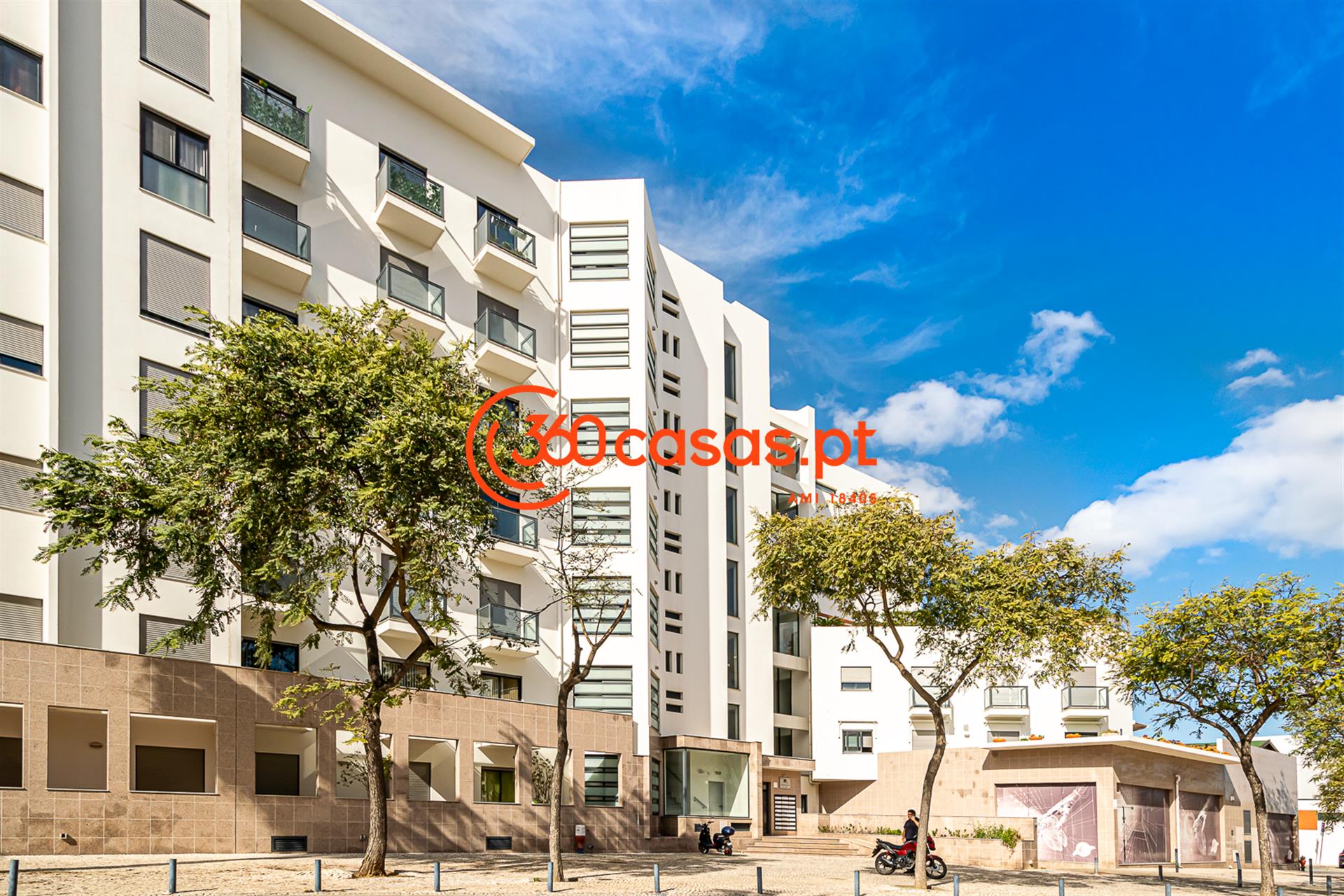
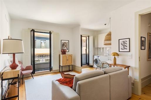
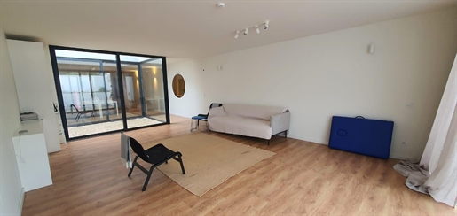
Property Portugal
36,405 houses and apartments for sale


Property in Coimbra